


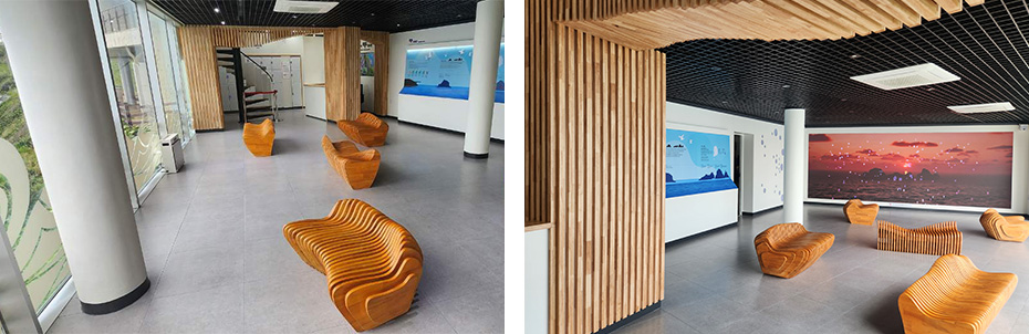
Oryukdo information hall
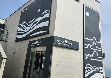
Oryukdo information hall
- Location : 197-4 Yongho-dong, Nam-gu, Busan
- Contact : 051-607-6395
- Operating Hours : 09:00 ~ 18:00
- Remarks : Unmanned Facility
Introduction
Formation and Changes of Oryukdo Islets
Formed by seashore rocks, Oryukdo Islets were once connected along a single mountain ridge around 120,000 years ago. However, erosions caused by waves over extended periods of time separated the mountain ridge into multiple chunks; this process was repeated multiple times to create the current landscapes of the islets. As the tides were extremely fast around Oryukdo Islets, sailors who traversed the area in the past offered rice as a tribute to the sea god and wished for a safe sail.
The Origin of the Name of Oryukdo
Oryukdo Islets consist of five islands, including Usakdo (height: 32 m), Suriseom (33 m), Songgotseom (37 m), Gulseom (68 m), and Deungdaeseom (28 m), in the order of the closest to Busan Port. Usakdo Island, the closest to the land, becomes separated into two islands called Bangpaeseom and Solseom at high tides and turns back into a single island during low tides. According to “Mountains and Streams” of Dongnae-buji (“Outline of Dongnae-bu”), Oryukdo Islet’s name came from how the islands seem to have five peaks when seen from the west (“O” meaning “five” in Korean) and have six peaks from the east (“Ryuk” meaning “six” in Korean).
Oryukdo Islets’ Ecosystem
Designated on Dec. 31, 2023:
Ministry of Oceans and Fisheries Ecosystem Preservation Area No. 3
Thanks to Korea’s southern coast’s low pollution levels and warm temperatures, various marine organisms inhabit Oryukdo Islets and
their surroundings. Plants and animals rarely witnessed in Korea often appear near the islets as well.
· Major Animals Inhabiting Oryukdo Islets
- Birds: Black kite, common kestrel, cormorant, hawk
- Marine life: Neon damselfish, blue-striped angelfish, shore crab, jewel anemone
- Plants: Black pine, Australian laurel, broad-leaved oleaster, memorial rose tree
· Location of Oryukdo Islets
- 129° 07′ Longitude / 35° 05′ Latitude / 20,895㎡ Area
· 14.6℃ Average Temperature of Oryukdo Islets
22℃ Summer season average / 5℃ Winter season average
Oryukdo Island
· Bangpaeseom Island : The island was named “Bangpae” (Korean for “shield”) because it was closest to the land and protected against
rough winds and waves.
· Solseom Island : The island was named “Sol” (Korean for “pine”) because a tall pine tree grew on its peak.
· Suriseom Island : The island was named “Suri” (Korean for “eagle”) because many eagles gathered to hunt seagulls.
· Songgotseom Island : The island was named “Songgot” (Korean for “ice pick”) because its shape resembled the pointy tip of an ice
pick.
· Gulseom Island : The island was named “Gul” (Korean for “cave”) because there was a massive cave in the middle.
· Deungdaeseom Island : Once called “Balseom Island” (“Bal” meaning “foot” in Korean) due to its flat surface, the island was renamed
“Deungdae” (Korean for “lighthouse”) after a lighthouse was built on it.
Directions
Transportation information
-
27, 131 :
Back gate of Oryukdo SK View stop
-
Subway Line 2 :
Get off at Kyungsungdae/Pukyongdae Station of Line 2 and transfer to a bus